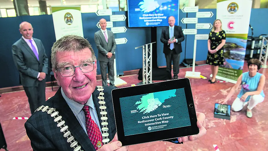
AN interactive map of Cork county detailing a wide range of information on attractions and activities at the touch of a button has been described by one councillor as a ‘tourist office in your pocket’.
In a first for any local authority in the country, the ‘Rediscover Cork County’ GIS (Geographic Information System) tourism map was recently launched by Cork County Council.
Sharon Corcoran, director of economic development and tourism, said the map contains over 600 tourist attractions and the initiative is part of the Council’s wider ACT (Activating County Towns) project, a dedicated programme to help businesses and communities to support the regeneration of the economy in Cork’s towns and villages.
‘This is interactive and can be used on a laptop, iPad or your mobile phone and this is about rediscovering Cork county,’ said Ms Corcoran. ‘The beauty of this is that you can click onto this map and ask what’s near you within your radius.’
‘This is a work in progress and I’m sure that there will be attractions not listed, but people can contact us on the website to let us know.’
The ‘Near Me’ features enables the user to insert their location or town of preference within a radius of up to 100km. The map will then provide information on nearby attractions and generate directions to an attraction or activity of choice. Up to 12 categories can be filtered, such as attractions, activities, gardens, beaches, family fun, heritage and food experiences. plus many more.
Cork County Council is also producing a series of short
videos which will be incorporated into the ‘quick town links’ sections, offering a visual glimpse of what is on offer in each respective area.
Cllr Gillian Coughlan (FF) said it’s the ultimate guide to Co Cork and is like a ‘tourist office in your pocket’ and commended the work that went into producing the map. Cllr Alan Coleman (Ind) welcomed the map and said the hospitality and tourism sector has been hardest hit during the Covid-19 pandemic and said it’s an opportunity for the lesser known tourist areas to make an impact, as well as the strong tourist areas.
Cllr Ross O’Connell (SD), who works in GIS himself, said it takes a lot of hard work to produce an app like this.
‘It’s very user-friendly and I would encourage all my fellow councillors to encourage other people in their community to use it and it’s something that can be easily shared,’ said the Goleen-based Cllr O’Connell. The ‘Redisover Cork County’ map is at www.corkcoco.ie and is compatible across all mobile devices. Feedback and suggestions are welcome and can be submitted by emailing [email protected]


