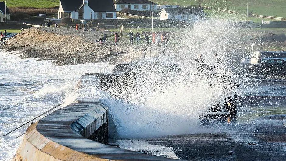
A White Christmas is not looking too likely and while that’s no great surprise, what is unusual is the mixed weather this winter, says meteorologist Vincent O’Shea
WEATHERWISE, the year 2022 thus far has been like no other. All seasons across Ireland reported being warmer than normal up to this week, with a string of temperature records smashed. These included a 33.0 degrees Celsius at the Met Eireann station in Phoenix Park on July 18th as heatwave conditions enveloped the country. That was the second highest temperature ever recorded on the island of Ireland. The mild weather persisted well into the autumn.
Seasoned observers will have noticed how prolonged a settled and indeed unsettled spell of weather can be in Ireland and can occur at any time. While not usually displayed on visual media weather charts, the north Atlantic jet stream meanders over lengthy timescales of weeks or more and is the overarching reason for this pattern.
One such jet pervading our latitudes during recent weeks steered successive low-pressure systems over the country with frequent frontal passages. After the excessively mild autumn that extended into early November, soil and surface level temperatures were much higher than normal. A sudden incoming cold air plume aloft resulted in a strong lapse rate (decrease of temperature with height) in the atmosphere which greatly facilitated convection to high altitudes. Ice crystals forming at the head of clouds cause hailstones which then fall to the ground.
Strong updraughts in Cumulonimbus clouds also cause an electrical voltage and charge to build.
The discharge from cloud to ground is a spark of lightning due to rapid heating and air expansion.
The resulting flash comes before the thunder as light travels faster than sound. The process often damages exposed structures.
The south coast of Munster has been particularly affected by thunderstorm activity of late, helped by a bend in the jet coinciding with the region and aiding further ‘enhanced convection’.
This type of turbulence is very common whenever contrast and change is occurring with the elements. Weather lore contains many references to a ‘break’ in the weather bringing it about.
Looking towards Christmas, it’s traditionally been notoriously difficult and risky making weather predictions with any reasonable degree of accuracy beyond eight to 10 days.
The Copernicus seasonal forecasting system (C3S) regularly publishes products to give indications over a period of months ahead.
A multi-system computer model with input from the European and US weather services, its pre-winter bulletin stated: ‘There is a 60% probability that temperatures will be significantly above historic norms across much of the UK, Ireland, central and southern Europe winter 2022/23.
‘Warmer temperatures would help to prevent scarce natural gas reserves from being depleted.’
Another theory regarding the El Nino phenomenon (Southern Ocean oscillation in Pacific) seems slightly at odds with this idea. And, given this week’s sharp drop in temperatures, albeit predicted not to last beyond next week, that could well be true too.
But, considering our world’s temperatures are rising, and given that 2022 is likely to be the warmest year ever on record, (this week’s cold spell not withstanding), I contend it is unlikely we will have a white Christmas. But that might well be a ‘badge of honour’ most of us will celebrate.
• Vincent O’Shea MSc MBA is a West Cork-based senior meteorologist


